
 Priyanka Tiwari
 Share
Share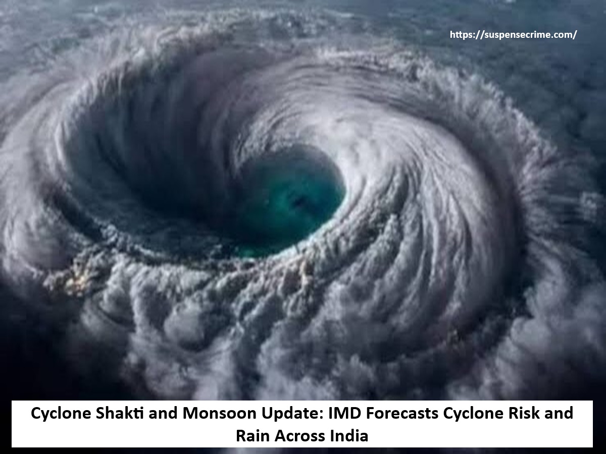
Suspense crime, Digital Desk : The Indian Meteorological Department (IMD) has confirmed the onset of the southwest monsoon as of Tuesday. It has now progressed to the South Andaman Sea, South Nicobar Islands, North Andaman Sea, and South Bay of Bengal.
An IMD report also stated that a cyclonic wind pattern is developing over Andaman Sea which has the potential to evolve into a low-pressure area between May 16 to May 22. This comes with an increased threat of a cyclone.
Cyclone Shakti Could Hit Between May 24 and May 26
Bangladeshi meteorologist Mustafa Kamal Palash claims the system over Andaman Sea is likely to evolve into a Cyclone named 'Cyclone Shakti'. He believes that will occur between May 23 and May 28.
If the cyclone materializes, it will likely affect the coastal region of India’s Odisha and West Bengal and Bangladesh's Khulna and Chittagong, especially from May 24 to May 26.
Rain and thunder is set to impact areas in Uttar Pradesh and Rajasthan.
According to the IMD, there is a cyclonic circulation between 1.5 and 7.6 km above the Andaman Sea and also structures are developing over northwestern Uttar Pradesh and western Rajasthan. This will likely create thunderstorms in the region.
Karnataka and Kolkata Pre-Monsoon Effects
As of May 10 th , the IMD weather forecast monitored pre-monsoon rains in the vicinity of Bangalore and forecasted afternoon thundershowers. Thunderstorms are predicted for eastern parts of Kolkata on the same day.
An update from IMD shows that advancement of Northern limit of monsoon has been incorporated into further bulletins. Expansion into southeastern Arabian Sea, Maldives, Central Bay of Bengal, Andaman and Nicobar Islands is expected in the coming days.