


Historical 124-Year-Old Map Key to Resolving MP-Rajasthan Border Row Over Solar Project Land in Mandsaur
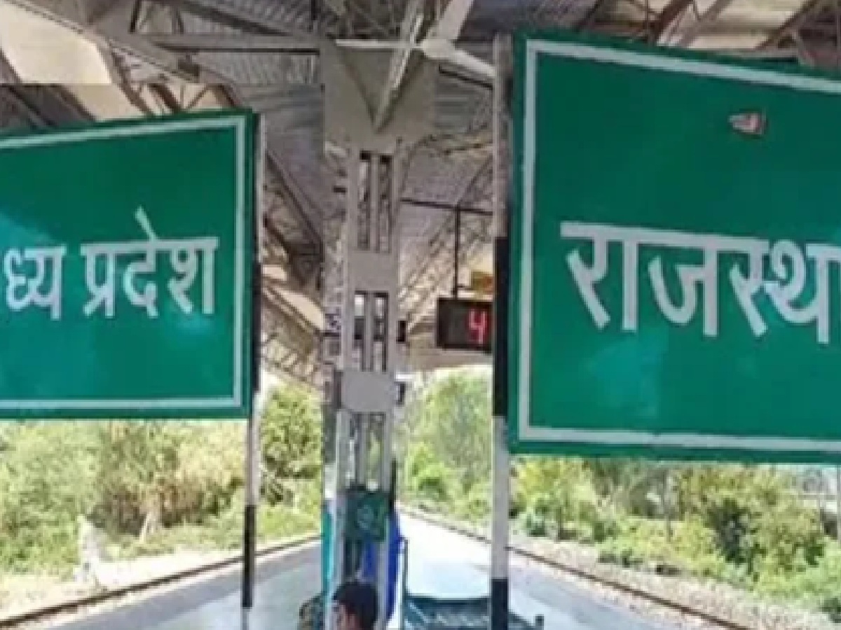
A century-old territorial conflict has re-emerged along the Madhya Pradesh and Rajasthan border, centering around Dhanwada village in the Suwasra tehsil of Mandsaur district. The dispute escalated after the Rajasthan Forest Department halted construction on a major solar energy project initiated by the Madhya Pradesh government, claiming ownership of the land parcel. In response, local revenue officials conducted a detailed joint demarcation using a historical 1902-03 Gwalior State map, a 1938-39 revenue map, and modern land records—all of which firmly confirm that the disputed area falls within the sovereign boundaries of Madhya Pradesh.
Historical Land Demarcation Confirms Madhya Pradesh Revenue Boundaries
Official investigations carried out by the Mandsaur administrative team revealed complete consistency across all three historical and modern cartographic records. Permanent physical landmarks recorded in the 124-year-old maps, including traditional water wells, pathways, and established survey lines, remain in their exact geographical positions today. Furthermore, Dhanwada is officially recognized as a legitimate revenue village of Madhya Pradesh in the Local Government Directory (LGD) of the Government of India, complete with fully operational state-funded infrastructure including a local Gram Panchayat, public school, Anganwadi center, paved roads, and water supply tanks.
Dispute Over 130 Hectares of Solar Project Land Remains Stalled
The core of the dispute involves over 130 hectares of land situated across Dhanwada and neighboring Ramnagar, which had been formally allocated for renewable solar power infrastructure. Despite joint field inspections and the Mandsaur Collector dispatching verifiable historical records and survey reports to the Jhalawar Collector in Rajasthan, the Rajasthan Forest Department has refused to yield its claim. Revenue authorities also identified notable discrepancies in the official revenue map of Singhpur village in Rajasthan, pointing out that the physical survey numbers do not align with their maps and no permanent forest department boundary pillars exist on the ground.
Deadlock Persists Despite Clear Historical Evidence and Official Talks
Despite compelling cartographic evidence spanning from 1902 to the present day validating Madhya Pradesh's administrative authority over Dhanwada, high-level administrative talks remain at a standstill. On-site inspections conducted by inter-state delegations on Monday failed to break the deadlock, as Rajasthan authorities continue to dispute the revenue boundary lines, keeping the crucial solar energy project on hold.

_660197681_351x234.jpg)
_1448689850_351x234.jpg)
_240294885_351x234.jpg)
_827899042_351x234.jpg)