


Southwest Monsoon Covers Entire India After Sluggish Advance; IMD Predicts Below-Normal July Rainfall
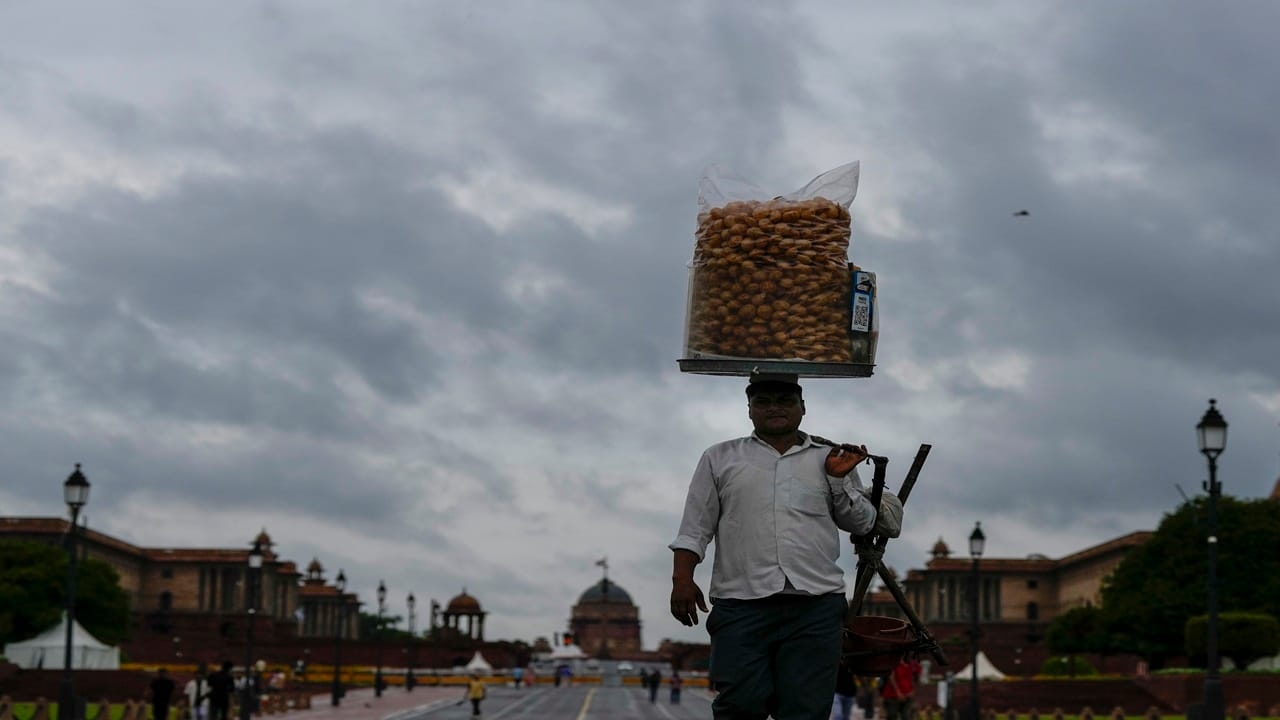
Bringing an end to a highly uneven and erratic onboarding phase, the Southwest Monsoon finally blanketed the entire country on Thursday, July 9, 2026. According to the India Meteorological Department (IMD), the rain system advanced into the remaining pockets of the north Arabian Sea, Rajasthan, Haryana, and Punjab to complete its nationwide footprint.
While the sudden July downpours have triggered widespread urban waterlogging across Delhi-NCR and the northern plains, the full geographical coverage comes with a distinct historical catch.
Slowest Nationwide Advance in Five Years Fueled by El Niño
The 2026 monsoon system entered the mainland via Kerala on June 4, three days later than its typical June 1 onset. It took the weather system exactly 35 days to scale across the subcontinental landmass and claim complete coverage.
This timeline marks a minor one-day delay compared to the historical baseline normal target of July 8. However, looking at recent climate cycles, this year's journey stands out as the slowest nationwide monsoon advance since 2021, when the system took until July 12 to reach full coverage.
| Year | Date of Full India Coverage |
|---|---|
| 2022 | July 2 |
| 2023 | July 2 |
| 2024 | July 2 |
| 2025 | June 29 |
| 2026 (Current) | July 9 |
Meteorologists point out that the slow geographical march is primarily tied to weak but persistent El Niño conditions hovering over the equatorial Pacific Ocean. The climate anomaly structurally weakened initial monsoon winds, preventing the standard prompt multi-state advancement typically seen throughout mid-June.
The June Deficit and the Dramatic July Catch-Up
The seasonal rainfall distribution has been starkly divided, providing local agricultural planning boards with significant challenges:
The June Drought Stress: June 2026 concluded with a massive 40% all-India rainfall deficit as dry northwesterly winds blocked standard moisture patterns. Central India bore the brunt of this dry spell, logging a severe 50.4% deficit—marking the fifth-lowest total June precipitation recorded since 1901.
The July Turnaround: As the calendar turned to July, a well-marked low-pressure system anchored over southwest Uttar Pradesh acted as a massive atmospheric vacuum, drawing deep maritime moisture inward. This shift triggered torrential downpours that successfully narrowed the seasonal cumulative deficit from -40% on June 30 down to a manageable -14% as of July 9.
IMD Outlook: 'Active' Phase Halts, Below-Normal Rains Ahead
Despite the dramatic rain spells lashing northern hubs, the IMD has issued a caution to agricultural sectors and water resource management teams.
"The active phase of the current monsoon system is now rapidly concluding as the primary trough shifts closer towards the Himalayan foothills," stated M. Mohapatra, Director General of Meteorology at the IMD. "From July 10 onwards, we will observe a gradual reduction in rain volume across central and northwest India, with widespread below-normal rainfall patterns setting in from July 15."
Quantitatively, the IMD maintains its July monthly outlook at below normal, projectable at less than 94% of the Long Period Average (LPA). For the entirety of the four-month season (June to September), total accumulation is expected to hit 90% of the LPA (historically pinned at 87 cm based on 1971–2020 baseline metrics) with a standard model margin error of 4%.
While the rapid July catch-up has successfully sustained the ongoing initial Kharif crop sowing season, the anticipated mid-month dry spell means states must carefully manage their replenished water reserves.


_1587178762_351x234.jpg)
_305727748_351x234.jpg)
_744867096_351x234.jpg)
_483913699_351x234.jpg)