


India Weather Update July 22: Red Alert Issued for Gujarat & Maharashtra; Heavy Downpours and 50 km/h Winds Predicted Across 16 States
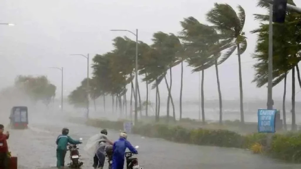
The India Meteorological Department (IMD) has issued a high-level weather bulletin for July 22, placing two western states under a Red Warning due to active monsoon conditions. Torrential rainfall and severe waterlogging threats have prompted emergency advisories across Gujarat and Madhya Maharashtra.
Simultaneously, an Orange and Yellow alert covers more than 16 states and union territories—including Delhi-NCR, Uttar Pradesh, Punjab, and Madhya Pradesh—warning of heavy to very heavy rainfall accompanied by squally surface winds reaching speeds of 40 to 50 km/h.
IMD Warning Levels & Regional Breakdown
Level Regions
Key Weather Dynamics for July 22
Monsoon Activity Highlights: July 22 Red Alert Zones: Northern plains of Gujarat and central Ghat regions of Maharashtra. Wind Gust Speeds: 40-50 km/h in southern peninsular states; 30-40 km/h in central/eastern plains. Thunderstorm Hazard: High risk of severe cloud-to-ground lightning across Northeast India and UP.
Red Alert in Western India: Extremely heavy rainfall is expected over the plain and northern sectors of Gujarat alongside the central ghats of Maharashtra. Emergency disaster response teams remain on standby due to waterlogging and localised flooding.
Delhi-NCR & Northern Plains: The capital region, Haryana, and Chandigarh will remain overcast with intense spells of heavy rain. Uttar Pradesh and Uttarakhand face continuous downpours, while Punjab and Himachal Pradesh remain on high alert for landslips and swollen rivers.
Squalls and Severe Lightning: Strong surface winds reaching 40 to 50 km/h will prevail across Andhra Pradesh, Karnataka, and Tamil Nadu. Severe cloud-to-ground lightning hazards have been flagged across Assam, Meghalaya, Vidarbha, and the Himalayan foothill regions.



_458138497_351x234.jpg)
_371540827_351x234.jpg)
_1327337013_351x234.jpg)
_1595687064_351x234.jpg)